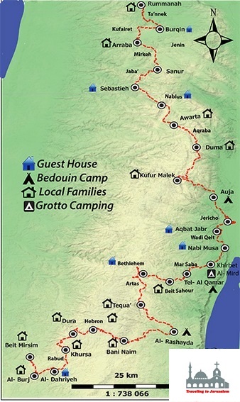


You start this hike by walking through the beautiful hills of the Nablus region from the picturesque village of Awarta to Duma. Awarta, which is 8 kms southeast of Nablus, has been inhabited since Biblical times. Between the 4th and 12th centuries, the town was an important Samaritan center, being the location of one of their main synagogues. . It follows the municipality of Nablus City. There is a 2 Km local road connecting it to Ramallah-Nablus highway. It overlooks three medium-height mountains covered with trees.
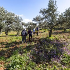
The village is 560m high above the sea level. The village territories which are a mix of plains and mountains interferes with the neighboring villages. It is famous mostly for planting olive trees, almonds, corn, lentils, and a variety of summer vegetables such as tomatoes and zucchini. The yield of olive trees is of the main source of income for many inhabitants.
You end up the hike in Duma which is 25 kilometers southeast of Nablus. Duma’s residents still mostly rely on irrigated crops, fruit orchards, olive groves and livestock for food. There are four water springs in Duma that provide water for the residents.
Info:
Walking Distance: Approximately 18.6 km
Walking Time: Approximately 5 – 6 hours
Difficulty: Moderate to Difficult
Recommendations:
Accommodations in Duma: